
- eyetracking@ethz.ch
- +41 44 633 71 59
Research
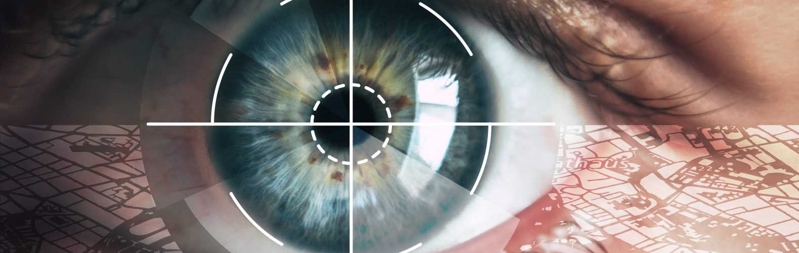
We investigate visual attention while interacting with geo information and in spatial decision situations. Eye tracking technology is used in order to understand users, predict their behavior, and assist them in their spatial activities. We combine competences and methods from Geographic Information Science, Computer Science, and Human Computer Interaction. We currently focus on the following three application areas:
Gaze-Informed LBS
Gaze-Informed Location-Based Services (GAIN-LBS) are LBS that consider the user's gaze as one type of context information.
Gaze-Based Geographic HCI
Gaze-based interaction with digital maps or other types of geographic information visualizations.
Spatial Awareness in Aviation
Improving a pilot’s spatial awareness by enhancing flight operations and pilot training with gaze-based interactions.
News
New publication in the International Journal of Geographical Information Science
The influence of uncertainty visualization on cognitive load in a safety- and time-critical decision-making task
Read More3D Sketch Map research meeting in Münster
The 3D Sketch Map project team had a very productive research meeting in Münster
Read More